Randonnée à VTT le tour de La Verpillière
Add to my favorites

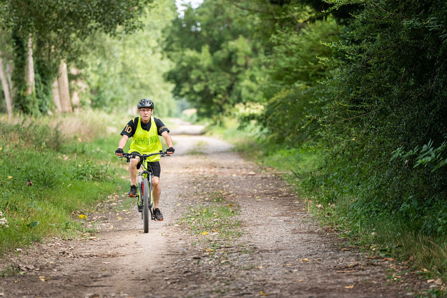
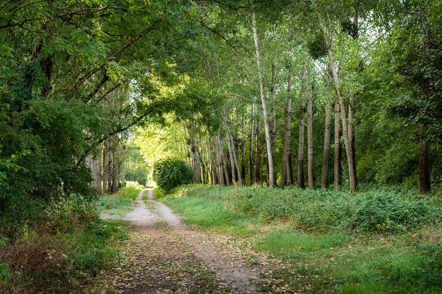
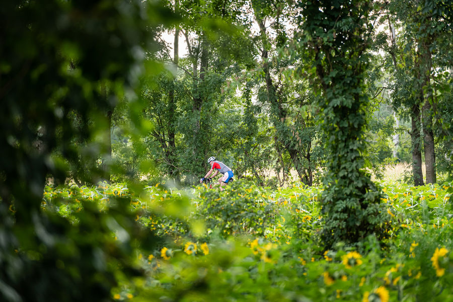
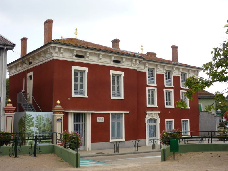
Au départ de La Verpillière (maison Girier), traversant marais et terres agricoles, circuit de VTT en direction du château et des étangs de Fallavier.
The characteristics of the route.

La Verpillière (38)
- Distance 23.9 km
- Elevation gain 290 m
- Elevation lost 290 m
- Min. elevation 205 m
- Max. elevation. 345 m
- Duration (depending on pace) 3h
- Marking Yes
Equipments : Car park, Admission fee : Free access.Opening : All year round.
Area : Porte de l'Isère
Report a problem
Website Features of the application :
- Location and orientation on detailed maps thanks to the GPS of your smartphone
- Description of routes and points of interest on the route
- Photo gallery by route
- Detailed elevation profile
- Route tracking alert to warn you if you stray from the route
- Send predefined messages by SMS to your contacts
- Emergency module: trigger a call or send an emergency SMS in case of problem
- Agenda: access to events organized in the department
- News: find in the application the latest news on the web portal
- Adding achievements
- Add reports in case of problems encountered on the routes
- Share on social networks
Add your time and share your feelings
Services nearby

Espace naturel sensible de l'étang de Fallavier et Vallon du Layet
Saint-Quentin-Fallavier

Musée de La Vie Rurale
Saint-Quentin-Fallavier

Office de Tourisme CAPI Porte de l'Isère
Bourgoin-Jallieu
Musée de Bourgoin-Jallieu
Bourgoin-Jallieu
Mineralogica - The mineral museum
Villemoirieu


Information updated on 2024-04-06 by Office de Tourisme CAPI - Porte de l'Isère


Follow us on
the digital trails
the digital trails


![]()
The Isère Outdoor application was created
by the Département de l'Isère
Infos & contact
Conseil départemental de l'Isère
7 rue Fantin Latour
CS 41096
38 022 Grenoble cedex 1
Tel. 04 76 00 38 38
 Isère Outdoor - Parcours - Randonnée à VTT le tour de La Verpillière
Hello, world! This is a toast message.
Isère Outdoor - Parcours - Randonnée à VTT le tour de La Verpillière
Hello, world! This is a toast message.
Isère Outdoor - Parcours - Randonnée à VTT le tour de La Verpillière
Hello, world! This is a toast message.


OK
Annuler