22 La Forestière, MTB route red n°22
Add to my favorites

Caution! Zone of vigilance near the route
Aigle royal - du 01/01/2026 au 31/08/2026 In progress
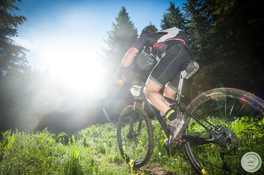
A remarkable challenging route on single-track paths and trails passing close to a unique attraction: Grotte de La Ture and the Plateau de Gève; return to the village by the stone path of the Plaine de l'Achard and the Cascade de Bellecombe.
The characteristics of the route.

Autrans-Méaudre en Vercors (38)
- Distance 26 km
- Elevation gain 810 m
- Elevation lost 810 m
- Min. elevation 1032 m
- Max. elevation. 1412 m
- Duration (depending on pace) 3h
- Marking Yes
Equipments : Public WC, Car park, Admission fee : Free access.Opening : From 01/05 to 31/10.
Subject to favorable weather.
Area : Massif du Vercors
Report a problem
Features of the application :
- Location and orientation on detailed maps thanks to the GPS of your smartphone
- Description of routes and points of interest on the route
- Photo gallery by route
- Detailed elevation profile
- Route tracking alert to warn you if you stray from the route
- Send predefined messages by SMS to your contacts
- Emergency module: trigger a call or send an emergency SMS in case of problem
- Agenda: access to events organized in the department
- News: find in the application the latest news on the web portal
- Adding achievements
- Add reports in case of problems encountered on the routes
- Share on social networks
Add your time and share your feelings
Services nearby

Centre Nordique d'Autrans
Autrans-Méaudre en Vercors
Foyer de ski de fond Autrans
Autrans-Méaudre en Vercors

OTI Vercors - Bureau d'informations d'Autrans
Autrans-Méaudre en Vercors

Refuge des Feneys
Autrans-Méaudre en Vercors
Gite d'alpage de la Molière
Engins


Information updated on 2023-06-16 by Office de Tourisme Intercommunal du Vercors


Follow us on
the digital trails
the digital trails


![]()
The Isère Outdoor application was created
by the Département de l'Isère
Infos & contact
Conseil départemental de l'Isère
7 rue Fantin Latour
CS 41096
38 022 Grenoble cedex 1
Tel. 04 76 00 38 38
 Isère Outdoor - Parcours - 22 La Forestière, MTB route red n°22
Hello, world! This is a toast message.
Isère Outdoor - Parcours - 22 La Forestière, MTB route red n°22
Hello, world! This is a toast message.
Isère Outdoor - Parcours - 22 La Forestière, MTB route red n°22
Hello, world! This is a toast message.


OK
Annuler