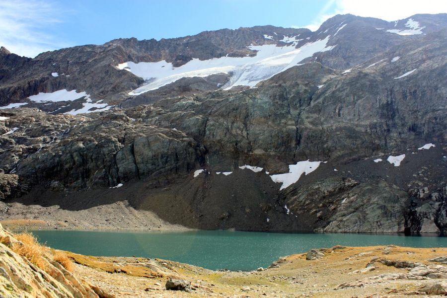
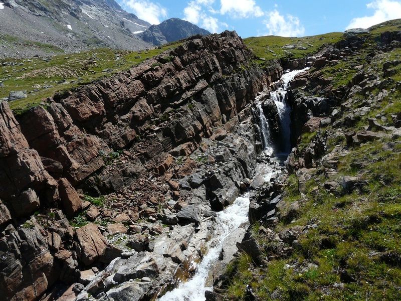
Summer hike: Lac de la Fare
Add to my favorites

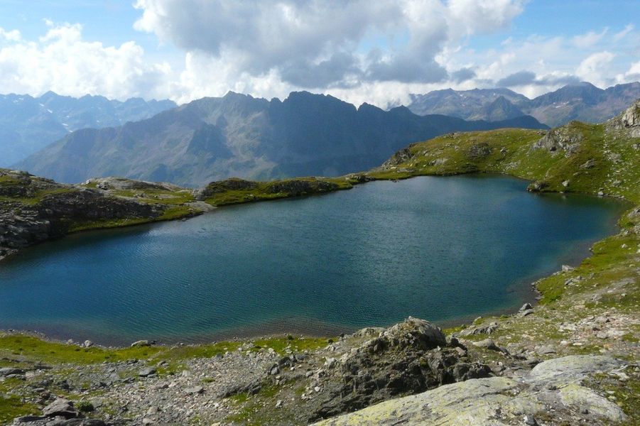
Take 1500 meters of altitude in a few minutes thanks to the cable cars and go off to discover the glacial lakes. A peaceful and silent nature where time seems frozen.
Route labeled FFRandonnée

The characteristics of the route.

Vaujany (38)
- Distance 5.5 km
- Elevation gain 190 m
- Elevation lost 190 m
- Min. elevation 2639 m
- Max. elevation. 2809 m
- Duration (depending on pace) 1h30
- Marking Yes
Opening : From 04/07 to 31/08 daily.Step by step description : Departure from the Vaujany cable car station. Take the ski lifts of Alpette then the Domes des Petites Rousses (ticket for sale in cash on site). The marked path is visible right out of the gondola. Enjoy the fresh air of the south and north facing road.
Area : Oisans
Report a problem
Website Pdf file Features of the application :
- Location and orientation on detailed maps thanks to the GPS of your smartphone
- Description of routes and points of interest on the route
- Photo gallery by route
- Detailed elevation profile
- Route tracking alert to warn you if you stray from the route
- Send predefined messages by SMS to your contacts
- Emergency module: trigger a call or send an emergency SMS in case of problem
- Agenda: access to events organized in the department
- News: find in the application the latest news on the web portal
- Adding achievements
- Add reports in case of problems encountered on the routes
- Share on social networks
Add your time and share your feelings
Services nearby

La Fare mountain hut
Oz-en-Oisans

Oz en Oisans Tourist Office
Oz-en-Oisans
Office de Tourisme de Vaujany
Vaujany

Vaujany museum
Vaujany
EDF Hydrélec museum
Vaujany


Information updated on 2026-06-15 by Office de Tourisme de Vaujany


Follow us on
the digital trails
the digital trails


![]()
The Isère Outdoor application was created
by the Département de l'Isère
Infos & contact
Conseil départemental de l'Isère
7 rue Fantin Latour
CS 41096
38 022 Grenoble cedex 1
Tel. 04 76 00 38 38
 Isère Outdoor - Parcours - Summer hike: Lac de la Fare
Hello, world! This is a toast message.
Isère Outdoor - Parcours - Summer hike: Lac de la Fare
Hello, world! This is a toast message.
Isère Outdoor - Parcours - Summer hike: Lac de la Fare
Hello, world! This is a toast message.


OK
Annuler