Tour of the Croix du Merdaret
Add to my favorites

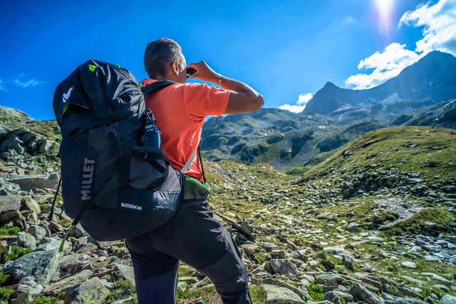
This hike offers a wealth of exceptional views of Belledonne, the Vercors, Grenoble, the Bauges and the Dent de Crolles...
The characteristics of the route.

Les Sept Laux Pipay (38)
- Distance 7.9 km
- Elevation gain 380 m
- Elevation lost 380 m
- Min. elevation 1492 m
- Max. elevation. 1819 m
- Duration (depending on pace) 2h45
- Marking Yes
Features of the application :
- Location and orientation on detailed maps thanks to the GPS of your smartphone
- Description of routes and points of interest on the route
- Photo gallery by route
- Detailed elevation profile
- Route tracking alert to warn you if you stray from the route
- Send predefined messages by SMS to your contacts
- Emergency module: trigger a call or send an emergency SMS in case of problem
- Agenda: access to events organized in the department
- News: find in the application the latest news on the web portal
- Adding achievements
- Add reports in case of problems encountered on the routes
- Share on social networks
Add your time and share your feelings
Services nearby

Bureau d'Information Touristique de Prapoutel / Les 7 Laux - Office de Tourisme Belledonne Chartreuse
Les Sept Laux Prapoutel
Bureau d'Information Touristique du Pleynet / Les 7 Laux - Office de Tourisme Belledonne Chartreuse
Les Sept Laux Le Pleynet

Refuge le Habert d'Aiguebelle
Laval
Refuge des 7 Laux
Le Haut-Bréda

Ibex museum - Space York Mallory
Allemond


Information updated on 2024-03-05 by Office de Tourisme de Belledonne Chartreuse


Follow us on
the digital trails
the digital trails


![]()
The Isère Outdoor application was created
by the Département de l'Isère
Infos & contact
Conseil départemental de l'Isère
7 rue Fantin Latour
CS 41096
38 022 Grenoble cedex 1
Tel. 04 76 00 38 38
 Isère Outdoor - Parcours - Tour of the Croix du Merdaret
Hello, world! This is a toast message.
Isère Outdoor - Parcours - Tour of the Croix du Merdaret
Hello, world! This is a toast message.
Isère Outdoor - Parcours - Tour of the Croix du Merdaret
Hello, world! This is a toast message.


OK
Annuler