L'Arête de l'Evêque snowshoe trail
Add to my favorites

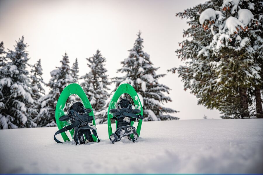
The very difficult "L'arête de l'Evêque" trail is 5.8 km long and has an ascent of 300 metres (3 hrs.). This route is an extension of the "nid de l'aigle" (eagle's nest), and the magnificent, unobstructed views from the ridge are well worth the kilometres covered.
The characteristics of the route.
Le Collet (38)
- Distance 5.4 km
- Elevation gain 360 m
- Elevation lost 350 m
- Min. elevation 1419 m
- Max. elevation. 1748 m
- Duration (depending on pace) 4h
- Marking Yes
Equipments : Parking nearby, Admission fee : Free access.Opening : Subject to snow conditions.
Area : Grésivaudan
Report a problem
Website Le Collet d'Allevard_ plan des itinéraires raquettes L'Arête de l'Evêque snowshoe trail_Le Collet Features of the application :
- Location and orientation on detailed maps thanks to the GPS of your smartphone
- Description of routes and points of interest on the route
- Photo gallery by route
- Detailed elevation profile
- Route tracking alert to warn you if you stray from the route
- Send predefined messages by SMS to your contacts
- Emergency module: trigger a call or send an emergency SMS in case of problem
- Agenda: access to events organized in the department
- News: find in the application the latest news on the web portal
- Adding achievements
- Add reports in case of problems encountered on the routes
- Share on social networks
Add your time and share your feelings
Services nearby

Le Collet Tourist Information Office
Le Collet

Allevard Museum
Allevard-les-Bains
Bureau d'Information Touristique d'Allevard-les-Bains
Allevard-les-Bains
Service animation du Bureau d'Information Touristique d'Allevard
Allevard-les-Bains

La Pierre du Carre Refuge
Le Collet


Information updated on 2026-02-03 by Office de Tourisme de Belledonne Chartreuse


Follow us on
the digital trails
the digital trails


![]()
The Isère Outdoor application was created
by the Département de l'Isère
Infos & contact
Conseil départemental de l'Isère
7 rue Fantin Latour
CS 41096
38 022 Grenoble cedex 1
Tel. 04 76 00 38 38
 Isère Outdoor - Parcours - L'Arête de l'Evêque snowshoe trail
Hello, world! This is a toast message.
Isère Outdoor - Parcours - L'Arête de l'Evêque snowshoe trail
Hello, world! This is a toast message.
Isère Outdoor - Parcours - L'Arête de l'Evêque snowshoe trail
Hello, world! This is a toast message.


OK
Annuler