Au cœur des Etangs
Add to my favorites

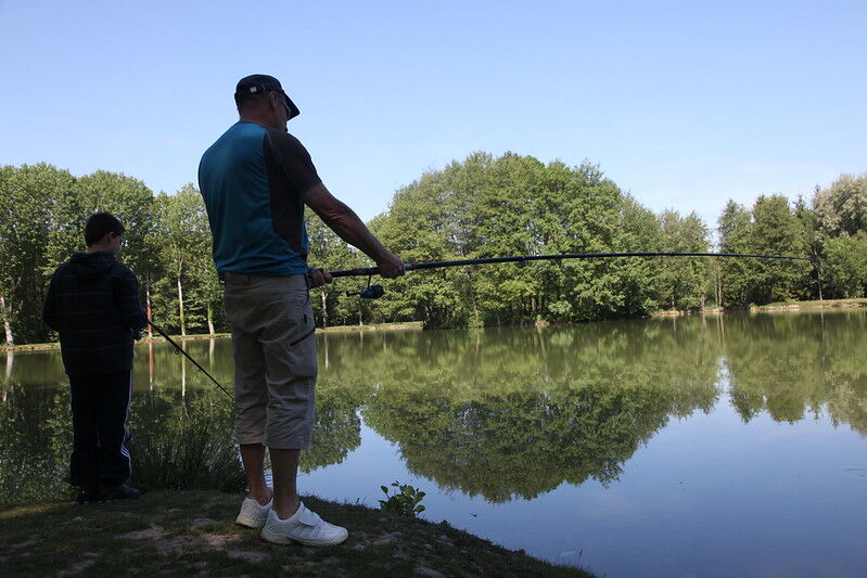
Découvrez quelques-uns des 200 étangs que compte le pays Saint-Jeannais, avec une concentration importante sur la commune de Châtonnay.
Route labeled FFRandonnée

The characteristics of the route.

Châtonnay (38)
- Distance 16.3 km
- Elevation gain 330 m
- Elevation lost 330 m
- Min. elevation 430 m
- Max. elevation. 557 m
- Duration (depending on pace) 5h
- Marking Yes
Equipments : Car park, Admission fee : Free access.Opening : All year round daily.
Subject to favorable weather.
Area : Bièvre Isère
Report a problem
Website Pdf file Features of the application :
- Location and orientation on detailed maps thanks to the GPS of your smartphone
- Description of routes and points of interest on the route
- Photo gallery by route
- Detailed elevation profile
- Route tracking alert to warn you if you stray from the route
- Send predefined messages by SMS to your contacts
- Emergency module: trigger a call or send an emergency SMS in case of problem
- Agenda: access to events organized in the department
- News: find in the application the latest news on the web portal
- Adding achievements
- Add reports in case of problems encountered on the routes
- Share on social networks
Add your time and share your feelings
Services nearby

Espace naturel sensible de l'étang de Montjoux
Saint-Jean-de-Bournay

Hector berlioz Museum
La Côte-Saint-André

La Côte-Saint-André Tourist information center
La Côte-Saint-André

Relais Cyné de Chateauvilain
Châteauvilain
Musée des Liqueurs Cherry-Rocher
La Côte-Saint-André


Information updated on 2025-12-18 by Isère Attractivité


Follow us on
the digital trails
the digital trails


![]()
The Isère Outdoor application was created
by the Département de l'Isère
Infos & contact
Conseil départemental de l'Isère
7 rue Fantin Latour
CS 41096
38 022 Grenoble cedex 1
Tel. 04 76 00 38 38
 Isère Outdoor - Parcours - Au cœur des Etangs
Hello, world! This is a toast message.
Isère Outdoor - Parcours - Au cœur des Etangs
Hello, world! This is a toast message.
Isère Outdoor - Parcours - Au cœur des Etangs
Hello, world! This is a toast message.


OK
Annuler