Sur les Crêtes de Montseveroux
Add to my favorites

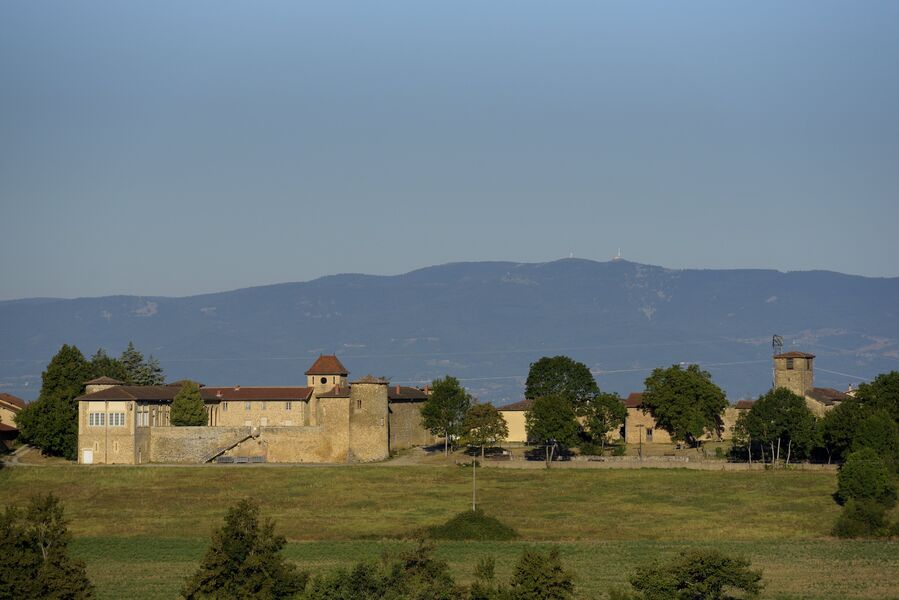
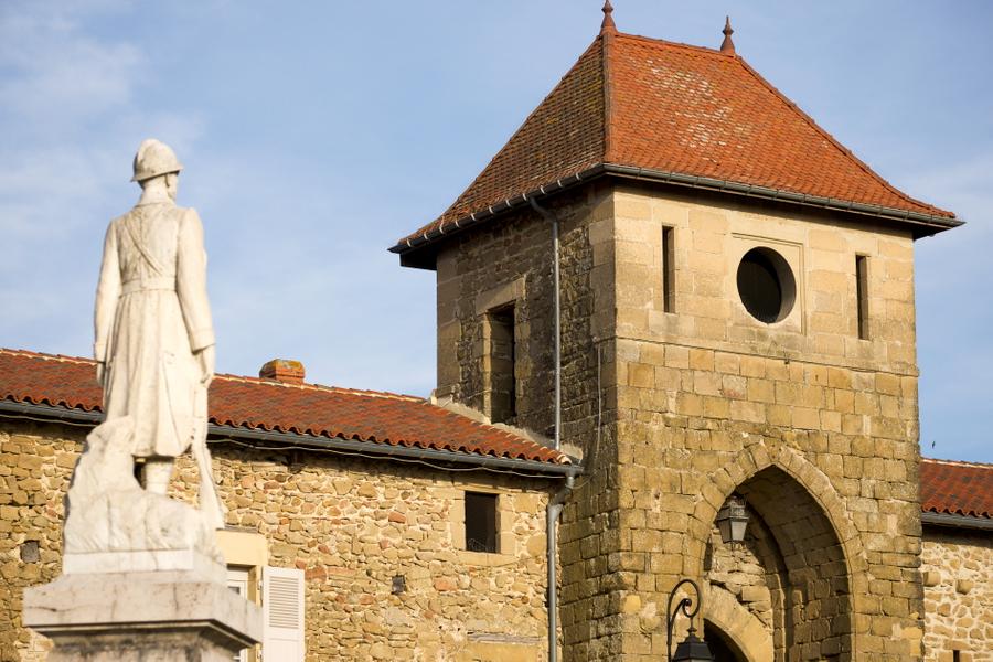
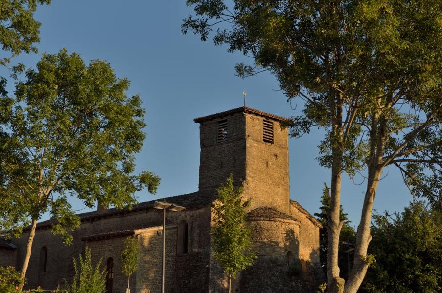
Une petite randonnée de 6,7 km autour de Montseveroux avec son château des XIII & XIVe siècles et son église du XIIIe siècle . Profitez de points de vue sur le Vercors et le Massif du Pilat.
Route labeled FFRandonnée

The characteristics of the route.

Montseveroux (38)
- Distance 6.7 km
- Elevation gain 150 m
- Elevation lost 150 m
- Min. elevation 364 m
- Max. elevation. 439 m
- Duration (depending on pace) 2h
- Marking Yes
Equipments : Picnic area, Car park, Admission fee : Free access.Opening : All year round daily.
Subject to favorable weather.
Area : Bièvre Isère
Report a problem
Website Pdf file Features of the application :
- Location and orientation on detailed maps thanks to the GPS of your smartphone
- Description of routes and points of interest on the route
- Photo gallery by route
- Detailed elevation profile
- Route tracking alert to warn you if you stray from the route
- Send predefined messages by SMS to your contacts
- Emergency module: trigger a call or send an emergency SMS in case of problem
- Agenda: access to events organized in the department
- News: find in the application the latest news on the web portal
- Adding achievements
- Add reports in case of problems encountered on the routes
- Share on social networks
Add your time and share your feelings
Services nearby

Espace naturel sensible de la Salette
Bellegarde-Poussieu

Castle of Jarcieu
Jarcieu

Office de tourisme
Beaurepaire
Flood meadow
Pont-Évêque
Textile Industry Museum
Vienne


Information updated on 2026-03-05 by Isère Attractivité


Follow us on
the digital trails
the digital trails


![]()
The Isère Outdoor application was created
by the Département de l'Isère
Infos & contact
Conseil départemental de l'Isère
7 rue Fantin Latour
CS 41096
38 022 Grenoble cedex 1
Tel. 04 76 00 38 38
 Isère Outdoor - Parcours - Sur les Crêtes de Montseveroux
Hello, world! This is a toast message.
Isère Outdoor - Parcours - Sur les Crêtes de Montseveroux
Hello, world! This is a toast message.
Isère Outdoor - Parcours - Sur les Crêtes de Montseveroux
Hello, world! This is a toast message.


OK
Annuler