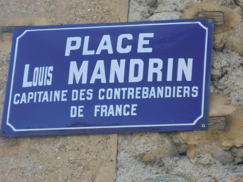
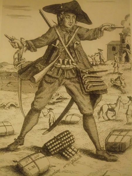
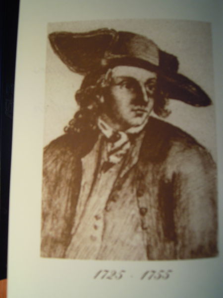
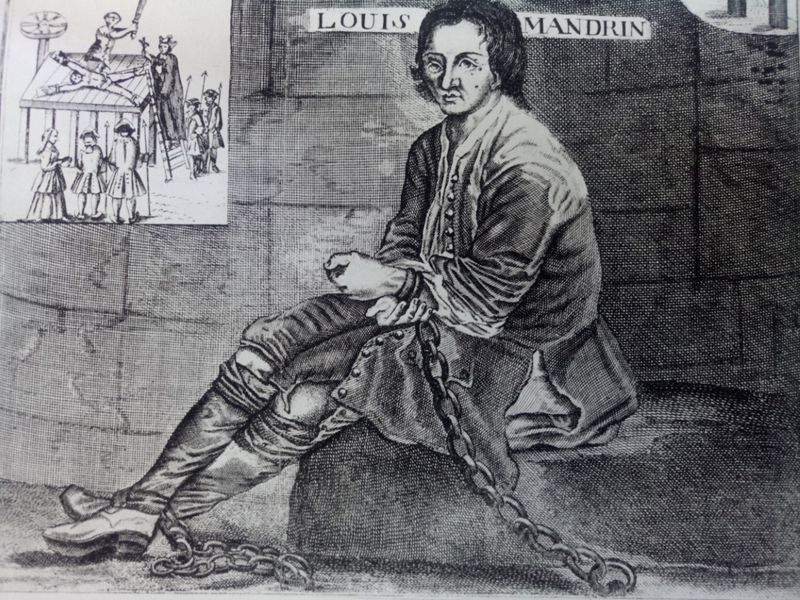
A la découverte de Mandrin
Add to my favorites

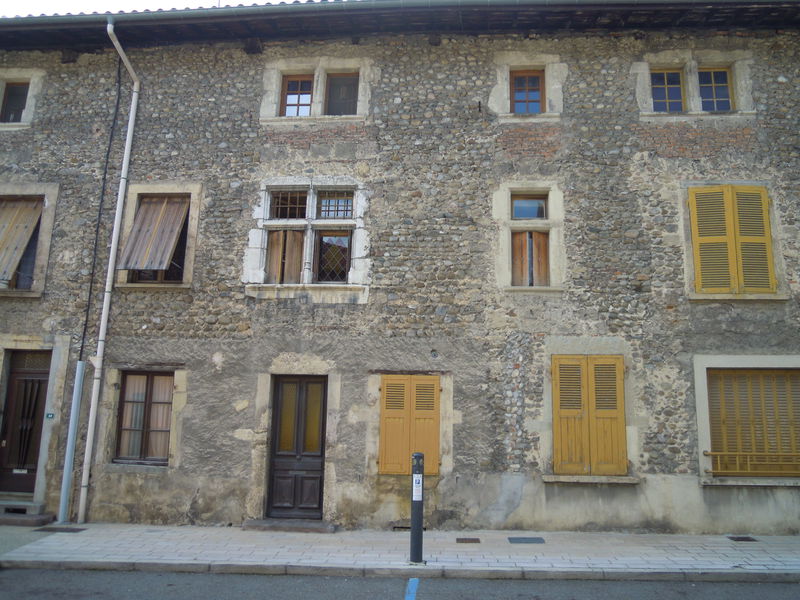
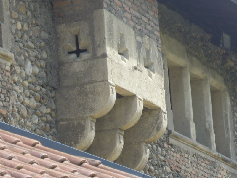
À partir de Saint-Étienne-de-Saint-Geoirs, cette balade familiale sur de bons chemins vous fera découvrir successivement la plaine de la Bièvre, les coteaux de Chambaran, les étangs de Plan et Saint-Étienne-de-Saint-Geoirs
Route labeled FFRandonnée

The characteristics of the route.

Saint-Étienne-de-Saint-Geoirs (38)
- Distance 10.3 km
- Elevation gain 180 m
- Elevation lost 180 m
- Min. elevation 389 m
- Max. elevation. 509 m
- Duration (depending on pace) 3h
- Marking Yes
Equipments : Car park, Admission fee : Free access.Opening : From 01/01 to 31/12.
Subject to favorable weather.
Area : Bièvre Isère
Report a problem
Website Pdf file Features of the application :
- Location and orientation on detailed maps thanks to the GPS of your smartphone
- Description of routes and points of interest on the route
- Photo gallery by route
- Detailed elevation profile
- Route tracking alert to warn you if you stray from the route
- Send predefined messages by SMS to your contacts
- Emergency module: trigger a call or send an emergency SMS in case of problem
- Agenda: access to events organized in the department
- News: find in the application the latest news on the web portal
- Adding achievements
- Add reports in case of problems encountered on the routes
- Share on social networks
Add your time and share your feelings
Services nearby

St Etienne de St Geoirs Tourist information center
Saint-Étienne-de-Saint-Geoirs

Musée de Bressieux
Bressieux

Espace naturel sensible de la Tourbière des Planchettes
Saint-Pierre-de-Bressieux
Musée des Liqueurs Cherry-Rocher
La Côte-Saint-André
Ecomusée rural
Longechenal


Information updated on 2025-12-18 by Isère Attractivité


Follow us on
the digital trails
the digital trails


![]()
The Isère Outdoor application was created
by the Département de l'Isère
Infos & contact
Conseil départemental de l'Isère
7 rue Fantin Latour
CS 41096
38 022 Grenoble cedex 1
Tel. 04 76 00 38 38
 Isère Outdoor - Parcours - A la découverte de Mandrin
Hello, world! This is a toast message.
Isère Outdoor - Parcours - A la découverte de Mandrin
Hello, world! This is a toast message.
Isère Outdoor - Parcours - A la découverte de Mandrin
Hello, world! This is a toast message.


OK
Annuler