Itinerary no. 6 "The St Vérand Hills"
Add to my favorites

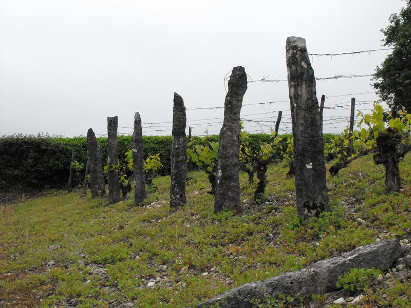
This challenging itinerary takes you through Montalieu, Vassieu, Parmilieu and Porcieu, across woodland and between quarries. You'll discover the Bigues trail with its stone features and a beautiful panoramic view over the River Rhône.
The characteristics of the route.

Montalieu-Vercieu (38)
- Distance 20.5 km
- Elevation gain 270 m
- Elevation lost 270 m
- Min. elevation 198 m
- Max. elevation. 374 m
- Duration (depending on pace) 2h30
- Marking Yes
Marking : Blue FFCT markersEquipments : Parking nearby, Public WC, Picnic area, Delicate passages : Please be careful when crossing the country roads!Admission fee : Free access.Opening : All year round.
Subject to favorable weather.
Area : Balcons du Dauphiné
Report a problem
Website Features of the application :
- Location and orientation on detailed maps thanks to the GPS of your smartphone
- Description of routes and points of interest on the route
- Photo gallery by route
- Detailed elevation profile
- Route tracking alert to warn you if you stray from the route
- Send predefined messages by SMS to your contacts
- Emergency module: trigger a call or send an emergency SMS in case of problem
- Agenda: access to events organized in the department
- News: find in the application the latest news on the web portal
- Adding achievements
- Add reports in case of problems encountered on the routes
- Share on social networks
Add your time and share your feelings
Services nearby

Point Information Vallée Bleue
Montalieu-Vercieu

Relais Cyné in Bouvesse Quirieu
Bouvesse-Quirieu

Sortie Lo Parvi : Découverte des libellules
Charette
Etang de Lemps sensitive natural area
Optevoz

Hières-sur-Amby Heritage Centre
Hières-sur-Amby


Information updated on 2024-03-13 by Office du Tourisme Les Balcons du Dauphiné


Follow us on
the digital trails
the digital trails


![]()
The Isère Outdoor application was created
by the Département de l'Isère
Infos & contact
Conseil départemental de l'Isère
7 rue Fantin Latour
CS 41096
38 022 Grenoble cedex 1
Tel. 04 76 00 38 38
 Isère Outdoor - Parcours - Itinerary no. 6 "The St Vérand Hills"
Hello, world! This is a toast message.
Isère Outdoor - Parcours - Itinerary no. 6 "The St Vérand Hills"
Hello, world! This is a toast message.
Isère Outdoor - Parcours - Itinerary no. 6 "The St Vérand Hills"
Hello, world! This is a toast message.


OK
Annuler